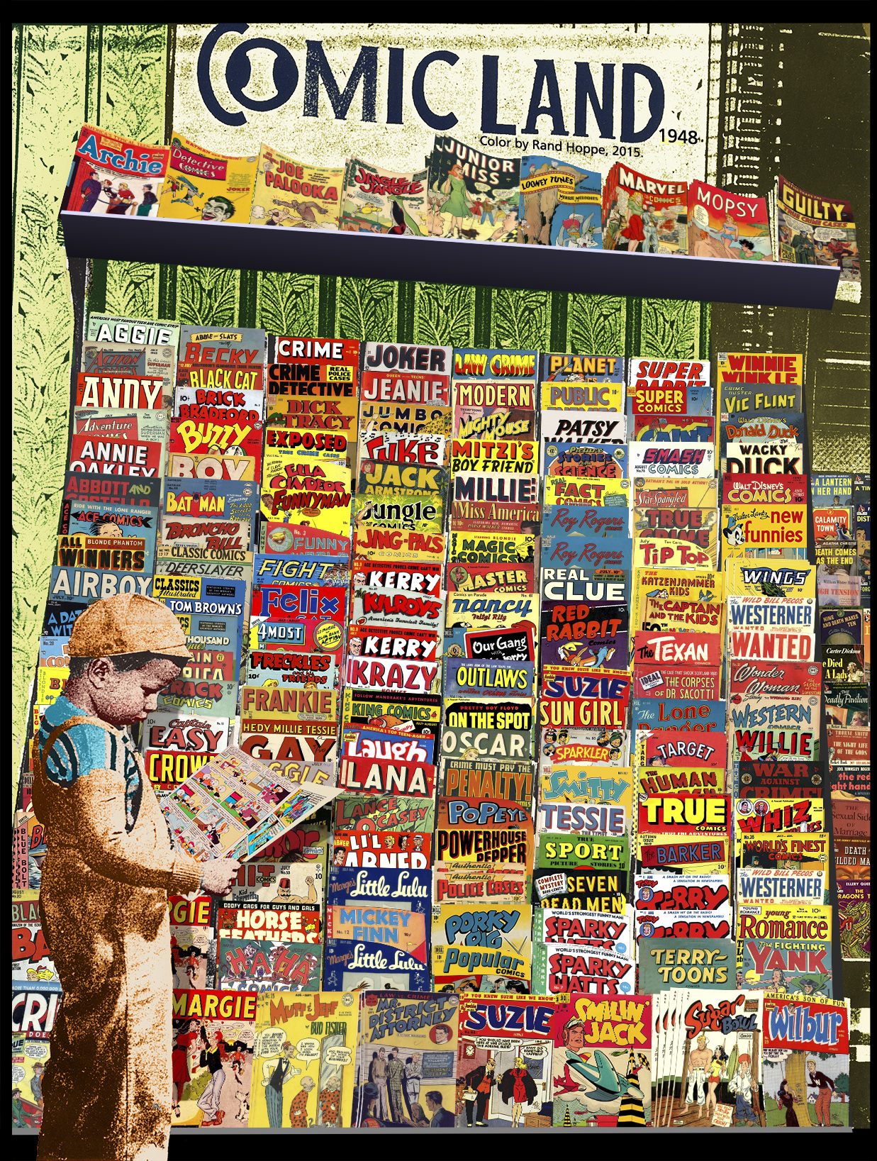
Comic Land, 1948 (in color)

ComicLand_allcolor_sm

Thanks to Bob Beerbohm, Robert Moubert’s thread on the ByrneRobotics forum, the incredible Grand Comics Database, the Pocket Books section at Cover Browser and some colorizing hints from Mads Madsen, I’m happy to present to you “Comic Land, 1948 (in color)”

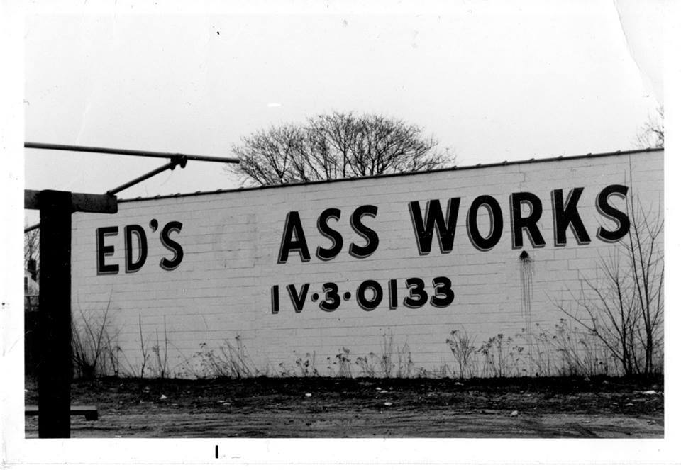
Photo of Ed’s Glass Works!

Soon after writing the post Dear Internet, please post a photo of Ed’s Glass Works three years ago, I set up a Facebook page with the same theme.

Today, Ronald S. Jackson posted a photo there:

EdsAssWorks_LRG

“I guess the operation was a success.”


View Larger Map
One door closes, another opens.

Thank you, Ronald!

Killing The Double Page Spread To Death

I ask all comic book people out there: would you care to join me in killing the redundant “Double Page Spread”? Or just kvetching about it?

Because, well, a spread by definition is two pages.

Double page splash, fine, go ahead, because there can also be full splashes, partial splashes,  initial splashes, interior splashes, chapter splashes

A minor bit of tilting at windmills, I know.

Or maybe something like this is ok: “My PIN number wouldn’t work at that ATM machine. Later, even though I referred back to the wrong ISBN number, I received a free gift!”

agghhhh

plonk

Kali scene – Golden Voyage of Sinbad (1973)

Just a quick note to accompany this clip of Ray Harryhausen’s work.

Being able to see moving images of the fantastic was a rare thing for the general populace before VHS rentals became ubiquitous. These wild visions would show up regularly on broadcast television, either late at night, or during  the weekends, but by regularly, I mean you could see a particular movie twice a year if you were lucky. Or you might be able to catch them in a midnight movie, or a revival house. Organizations could rent 16mm prints of movies and show them, so sometimes you’d get lucky at summer camp or a school auditorium on a rainy day. (I know devotees would collect 16mm prints, too, and 8mm reels were available, but I’m talking about the non-collector, non-devotee type. Not everyone owned a movie projector.) Cable TV was only starting out.

So, when I went to The Ritz one night with some friends to see, um, Marianne Faithful?, Adrian Sherwood’s Tackhead?, sorry can’t remember. I was absolutely transfixed by the video DJ-ing that was going on pre-show.

One of the clips shown was Kali.

Fantastic!

Hoboken Street Signs, Monuments & Statues

I’ve been pretty active on Google Mapmaker for a while, where users can add, edit and approve changes to Google Maps. I’ve made sure the streets and parking lots on the campus of Stevens Institute are correct. I’ve made sure that the roads and parking lots in our Hoboken supermarkets, senior housing and HUD housing are accurate. Quite a bit of this “making sure” involved adding the roads and parking lots to the maps – they weren’t always there.

Recently, the Hoboken Historical Museum, of which Lisa and I are proud members, mounted a map exhibit. After taking in the show, I had a nice conversation with the Museum’s Bob Foster. The result? A map of Hoboken’s named street signs, monuments and statues.

Of course, Google Maps allows anyone to make custom maps, like the one I made of a path I saw a raccoon walk in City Line, Brookyn a few years ago. However, I wanted the street signs to be find-able by any Google Maps user, so I used Mapmaker to add/make sure each of these items was included. So, if you go to Google Maps and search on “Biggie’s Way” in Hoboken you’ll get a hit.

So, here’s my custom map. Bob and I first discussed the street signs. Then I went ahead and added the statues and monuments, since I had already added them to Google Maps. My little icons are serviceable, and were fun to make. I also took snapshots of each place (well, maybe not all of them). If you click on the icon you should see the snapshot in the pop-up. If you have any suggestions, let me know.


View City of Hoboken Street Signs, Monuments, Statues in a larger map
 

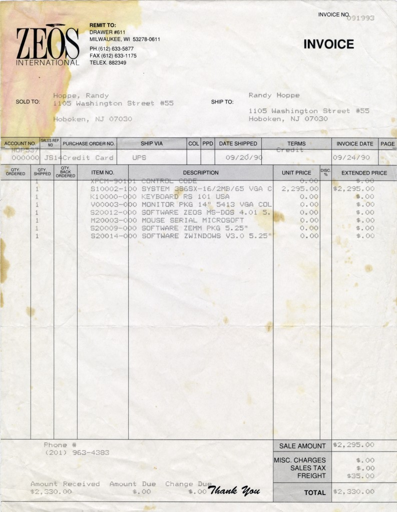
I Bought A PC

ZEOS_invoice24 September 1990 – ZEOS 386sx-16, 2MB RAM
Thanks to a loan from my dad, and advice from my pal Sean Cruz at work.


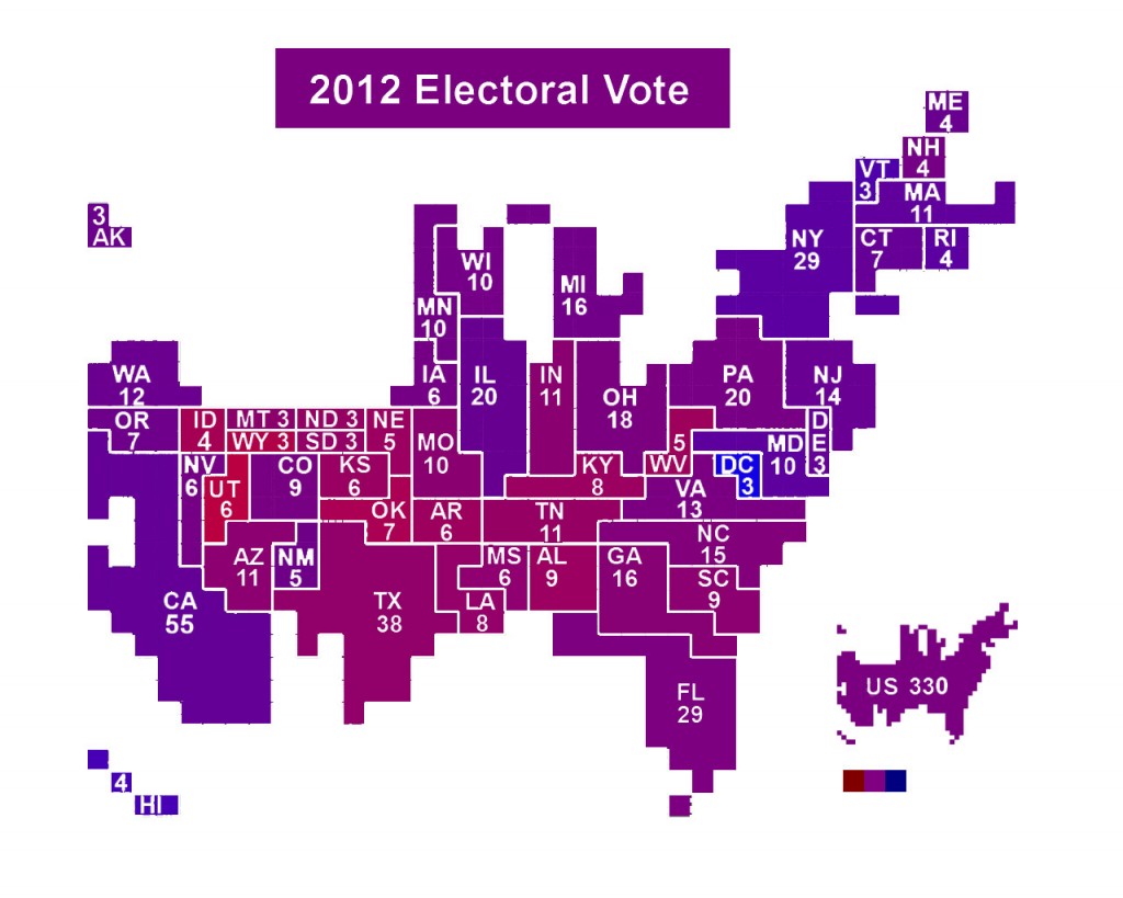
Numbers+Vision: 2012 US Presidential Election Cartogram

I saw a few graphics shared on Facebook yesterday, where folks had colored each US state and, impressively, each US county, using percentages of red (Romney) and blue (Obama) corresponding to the percentage of the popular vote for each candidate.

While interesting, I don’t like that kind of presentation because it mixes geography with population. Showing, for example, big ol’ sparsely populated Montana, Idaho, and the Dakotas colored according to votes, but not showing their population skews interpretation of the image.

So, I took the Electoral Vote Cartogram by ChrisnHouston on Wikimedia Commons and did the same as mentioned above, using percentages for each state from MSNBC’s and Fox News’ websites. It’s a little rough around the edges, but I thought it’d be fun to post it.

I also put a similarly colored full US electoral cartogram at the lower right reflecting the color of the total popular vote, as well as three squares showing 100% red, 50% red 50% blue, and 100% blue.

I’ve had a whole ‘nother Fluffernutter

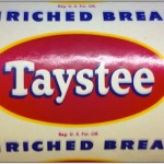
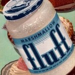
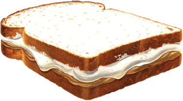
Yes, I’d put Marshmallow Fluff and Skippy smooth peanut butter between two slices of TasTee Bread (Wonder Bread was rarely in our house)…

and have a Fluffernutter

Not that we had Fluff all the time, but when it was in the house, it was in order to have Fluffernutters. Would there have been any other reason? Check the link to go to a page that includes an audio file of an old-school Fluffernutter commercial.

My point in writing this?  I have realized that for a few years now, probably 35 years or more since I last had a Fluffernutter, that I have been indulging in a modern variant.

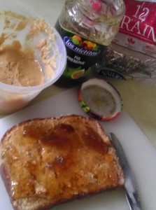
Multi(usually 12)-Grain sliced bread with organic ground-by-me-in-the-local-shop-so-it’s-chunky/crunchy peanut butter and… wait for it…  organic fig preserves.

It EVOKES the Fluffernutter in the crunchy, fiber-y manner that I prefer these days. Depending on the style of the preserve, the fig can also remind us that the Fig Newton is a very processed snack treat.

“The Hoboken Sound” (almost) complete

I wrote an entry here a while back extolling one particular virtue of Hoboken’s Maxwell’s – rock club, restaurant and watering hole par excellence – its one small video screen. A great respite from almost all the other places in Hoboken.

In said post, I mentioned “The Hoboken Sound”, a local NYC news produced documentary from 1985 about the music scene. Well, after some comments on the Maxwell’s Facebook page/group, a near-complete copy of the show was offered by Jesse Jarnow. I then converted and posted it to my YouTube page. It is almost complete, because I have a memory of reporter Bob O’Brien riding off on a motorcycle at some point in the show, perhaps the final shot. That scene is not in this video. I also noticed a Group W title, that seems to indicate to me that this is from a recording where the documentary was perhaps re-shown or syndicated, rather than a recording of the actual first local NYC broadcast.

And here it is:

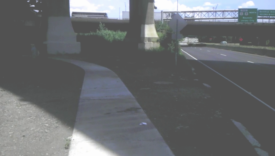
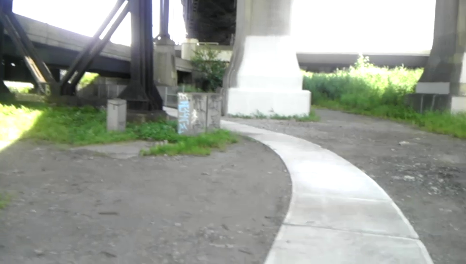
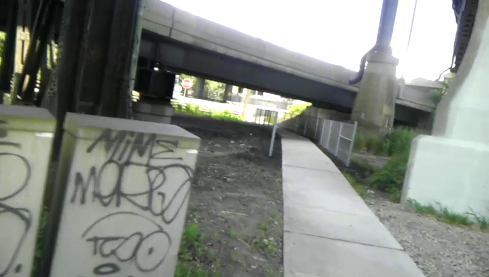
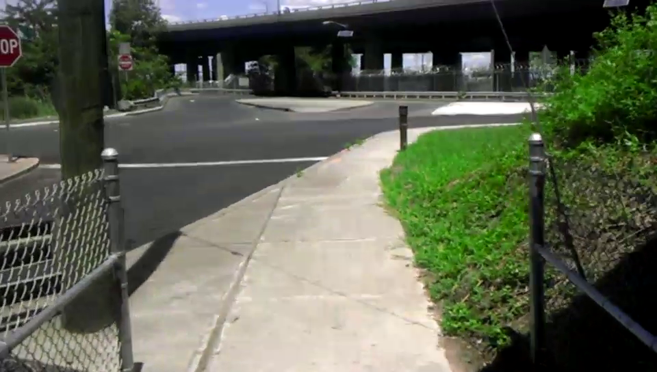
Newark to Jersey City unique East Coast Greenway pedestrian/bicycle right of way

Just a few photos of the short walk/bike path that connects Raymond Boulevard and a Doremus Avenue surface ramp (I guess that’s what it’d be called). The short trail goes under both the ramp of the Raymond Boulevard exit from the Pulaski Skyway and the ramp of Exit 15E from the NJ Turnpike.

Trail alongside Raymond Boulevard

Trail turns under NJ Turnpike exit ramp

Trail heads toward Route 1&9 ramp

Trail emerges onto surface Doremus Ave ramp